
@nisemikol
252 Photos273 Followers360 Following
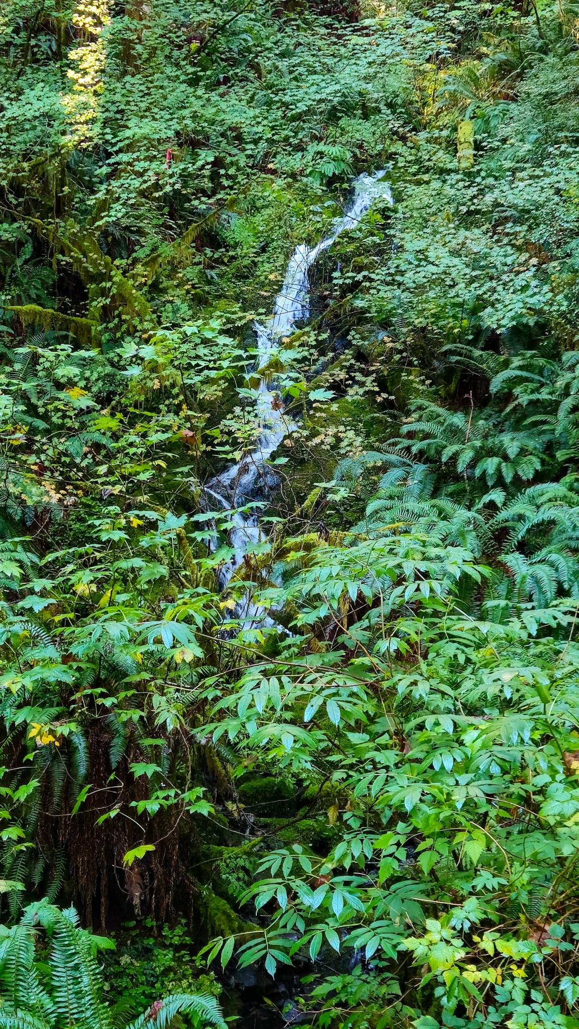
The density of life along the ODT is stunning 😲
#PNW #USA #WA #OlympicPeninsula #ClallamCounty #WestEnd #ODT #Outdoors #Autumn #Bicycling #Nature #Plants #Ferns #Forest #Water #Photography #MobilePhotography
4/3/26, 10:39 PM
2
25
71 days ago
@nisemikol
@eugeneparnell@mstdn.social not the whole thing, no. The ODT stretches from Port Townsend to La Push. It incorporates rails-to-trails paved bike paths and stretches of highway. Of the sections I've biked/ran, the Lake Crescent stretch (Spruce RR Trail) is my favorite, but I also like the stretch from the Camp Creek trailhead to the Mount Muller Trail.
71 days ago
@eugeneparnell@mstdn.social
@nisemikol Thank you I will check those out on the map. Looking for a fun easy place to take the family biking, this sounds perfect!
71 days ago
Liked by 1 person
@nisemikol Have you been along the whole thing? And do you have a favorite section? I saw the map online last year and it was kind of confusing so I haven't really revisited it but your photos make me want to check it out